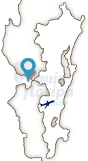
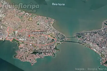
Capoeiras Neighborhood - Florianópolis Neighborhood


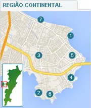
Região: Continental Region of Florianopolis
Close quarters: Coconut trees (2,5 km) | Narrow (2,5 km) | good shelter (3km) | Balneário (3,5 km) | Centro (4,5 km)
Nearby beaches: Campeche beach (18 km south) | Praia do Cacupe (19 km north) | Conceição Lagoon (19,5 km east)
Distances: Centro e Bus Station 4,5 km | Airport 19,5 km
The Capoeiras neighborhood is located on the mainland of Florianópolis, being the largest and most populous neighborhood in this region, with more than 18.000 inhabitants.
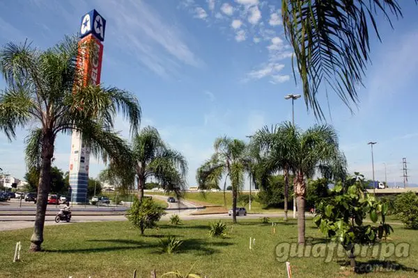
Capoeiras is a neighborhood that mixes commercial and residential areas. Its commerce is dynamic and varied, being concentrated along the main roads, such as Avenida Ivo Silveira and Santos Saraiva and Prefeito Dib Cherem streets. In this region, the Havan Store and the Angeloni Hypermarket stand out, in addition to several car dealerships and stores.
There are few options for nightlife, but as Capoeiras is in the border region between the cities of Florianópolis and São José, its population usually frequents the options of bars and restaurants available in the neighboring city, in the Campinas and Kobrasol districts, as well as the Itaguaçu Shopping Center. Accommodation options in this region are limited.
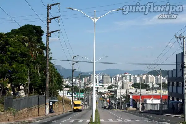
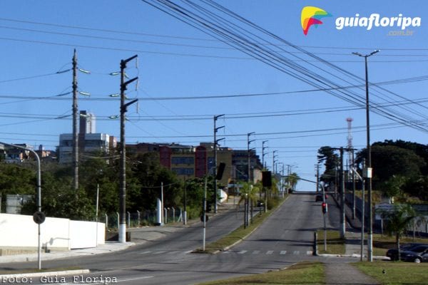
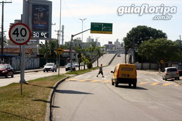
Recently, Avenida Governador Ivo Silveira - one of the main accesses to the island - was redeveloped, gaining an elevated road to minimize traffic jams, common at times of high traffic.
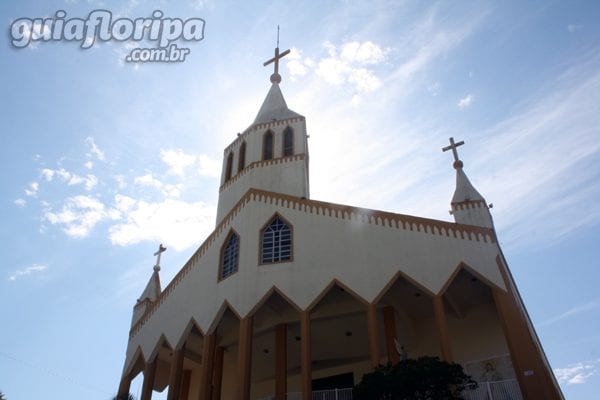
From the top of the hill of the Igreja de São João Batista e Santa Luzia, it is possible to have a beautiful view of the neighborhood, framed by the sea of the South Bay.
History
The origin of the name Capoeiras comes from the Tupi-Guarani language and means “forest that was born in the place of cut vegetation”, since, until the XNUMXth century, this region was formed by fields covered with grasses and small shrubs, widely used as pasture. .
ADVERTISING

The Capoeiras region has always been an important point in the history of regional development as it is a trade and migratory route between the village of Desterro and the southern provinces of the country. Through its lands, ran the road through which commerce and travelers had access to the Estreito neighborhood, from where they shipped their products to be sold in the central market of Santa Catarina Island.
From the XNUMXth century onwards, the first settlements began to appear along the path that crossed Capoeiras towards São José, since this region belonged to this municipality.
In 1944, a large area of the continental region was annexed to Florianópolis, including Capoeiras and Estreito. Gradually, urban growth reached the region, mainly in the 1960s, with the construction of the BR-101 and the installation of some public bodies and companies, such as Centrais Elétricas de Santa Catarina (CELESC), Telecommunications de Santa Catarina (TELESC), the Autonomous Department of Highways (DAER), the National Department of Transport Infrastructure (DNIT), the State Administration Warehouse and the Saul Oliveira Sports Gym (Capoeirão).
The development of tourism in florianopolis on the Island, the creation of Federal University of Santa Catarina (UFSC) and Eletrosul, among other factors, began to attract people from neighboring municipalities such as Alfredo Wagner, Bom Retiro, Águas Mornas, Paulo Lopes, Hut, Governor Celso Ramos and Tijucas. A large part of this population, for different reasons, chose to settle on the mainland, in areas that are undervalued from the real estate point of view, both because they have low purchasing power and because they want to acquire properties on a larger scale.
ADVERTISING
From the 1980s onwards, with the improvement of the quality of life in the capital and the growth in the value of land on the Island, a veritable avalanche of people from the mountainous region, from the west and midwest of Santa Catarina, as well as from gauchos, from Paraná and Northeasterners migrated to the continental region, promoting the acceleration of urban growth.
More recently, the expansion of neighborhoods, both in Florianópolis and in São José, makes it difficult to identify where one municipality ends and the other begins. Trade and services have grown a lot, leveraged by economic growth and the increase in quality of life in both cities.
DISCOVER MORE Neighborhoods in the Continental Region from Florianopolis