
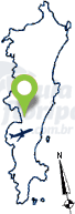
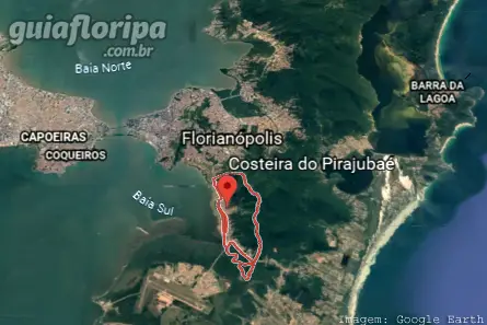
Coastal Pirajubaé - Florianópolis neighborhood


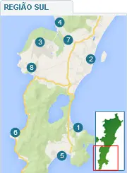
Região: south of the island
Close quarters: Bag of Lemons (3,5 km) | Pantanal (3 km) | Tavares River (7 km) |Campeche (8 km) | Carians (5 km)
Nearby beaches: Campeche beach (10 km east) | Morro das Pedras beach (13 km east) | Tapera Beach (16 km south)
Distances: Centro e Bus Station 6 km | Airport 12 km
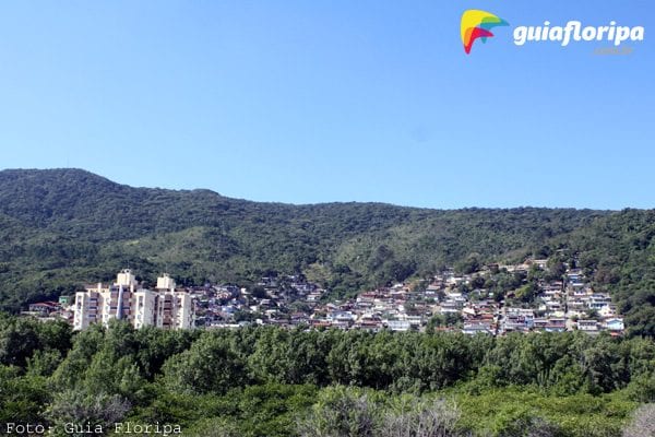
Costeira do Pirajubaé is a neighborhood located in the southwest part of Santa Catarina Island, approximately 6 km from the downtown florianopolis.
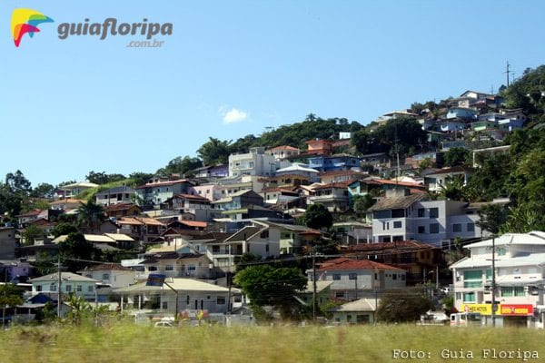
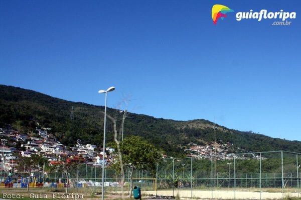
Squeezed between the Massif da Costeira and the edge along which the Via Expressa Sul passes, "Coixtêra", as it is affectionately called by the natives of the Island, is a predominantly residential neighborhood. Most of its 12.000 inhabitants live in houses on the slopes of the massif.
The neighborhood is an obligatory route for anyone heading to the southern neighborhoods of the island via the Expressa Sul road, Ressacada Stadium and Hercilio Luz International Airport.
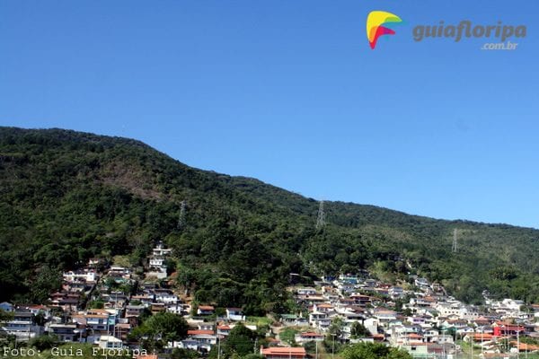
Due to the construction of the Via Expressa Sul landfill, the Costeira do Pirajubaé neighborhood gained many leisure areas, such as the bike path that runs along the entire edge, lawns with soccer fields and courts for volleyball and beach soccer. At the seaside there are several piers for mooring boats, from where you can admire a beautiful sunset in spring and summer afternoons.
ADVERTISING
History
There are two hypotheses regarding the name of the Coastal Pirajubaé. The first of them argues that the term “prejibahi” would be the result of the junction of “breguigoens”, which means “cockles”, with “igbaheapina”, which would be “way of the waters”. Together, the terms would mean something like “cockles path”. The second, more accepted, says that “pregibaé” would be a word of Tupi origin and would mean “fish with an ugly face”.
In the XNUMXth and XNUMXth centuries, the relationship established between the parishes gave rise to a true network of roads within the island of Santa Catarina. The access route to south of the island it necessarily passed through the village of Pregibaé, whose population was then very small. The houses were very far from each other, with some families living by the sea and others preferring to inhabit the higher lands.
Those who lived near the sea drew most of their livelihood from there. The residents of the upper part of the village, on the other hand, dedicated themselves to agriculture and animal husbandry, mills and lime production. There were also areas for common use, where everyone could release their heads of cattle, cultivate gardens and from where they took firewood for daily domestic activities.
ADVERTISING
In the 1920s, the development of the neighborhood Bag of Lemons made the neighborhood expand and reach the area that today corresponds to the Coastal Pirajubaé. In the XNUMX years that followed, Costeira left its air of a small town in the countryside to become a residential neighborhood, especially for families coming from the interior of the island and neighboring cities.
In 1970, Florianópolis underwent urban reforms that brought significant changes to Coastal Pirajubaé. Until then, the south island beaches were little sought after by tourists due to the difficulties of access. For the construction of a road that would lead to the region, it was necessary to fill in a part of the coast of the neighborhood. The work brought a series of consequences, the most serious of which was the alteration of the local marine ecosystem.
In 1995, work began on the Via Expressa Sul, whose main objective was to improve traffic in downtown Florianópolis. This undertaking also involved significant changes in the environmental conditions of the Coastal Pirajubaé. According to fishermen, species such as shrimp, for example, simply ceased to exist. This further weakened the neighborhood's fishing activities, which were already in decline.
DISCOVER MORE Neighborhoods in the South Region of Florianópolis
See neighborhoods in other regions of Florianópolis:
Hiper Select Supermarket - Rio Tavares
A complete supermarket with all the products you need! Save time and agility in everyday life, discover the mix of gluten-free, vegan, sugar-free, organic and lactose-free products available at Hiper Select. In addition, delight yourself in the bakery with the best cakes and delicacies, always remembering to stop by the cellar with exclusive labels from around the world. At the unit in Rio Tavares you can buy on the website and choose to receive in ... [See more]

