
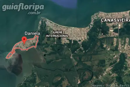
Daniela - Florianopolis Neighborhood


Região: north of the island
Nearby Neighborhood: Jurerê International (3,5 km)
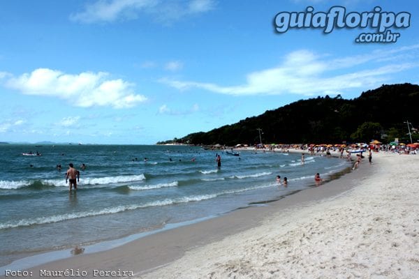
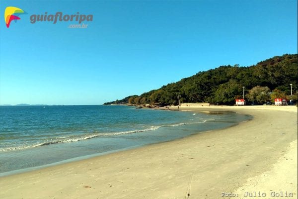
Nearby beaches: Daniela's Beach | Jurerê Internacional beach | Forte beach
Distances: Centro e Bus Station 28 km | Airport 38 km
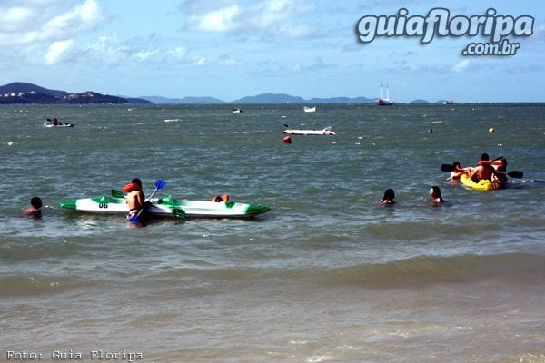
Also find: water sports, fishery, trail, mango

O Daniela neighborhood is located on a small peninsula in the northern region of Santa Catarina Island, 28 km from the Centro, between the neighborhoods Jurerê International e sambaqui.
Currently, its fixed population does not exceed 1.000 inhabitants, however, during the holiday and summer season this number triples.
It is a predominantly residential and summer area. Built in a planned way, like Jurerê Internacional, it has tree-lined streets, squares, sidewalks and ample public parking lots. In each block of the subdivision there are areas destined to serve as small squares.
The commerce in the neighborhood is quite restricted, directed to the needs of the residents, formed by small markets and some service providers, such as real estate agents. Most of the few commercial developments are concentrated on the main avenue.
Nightlife options are scarce, however, due to the proximity to Jurerê Internacional, it is possible to enjoy the most popular bars, nightclubs and beach points in the city.
Very popular with tourists from the Southern Cone, the Daniela neighborhood brings together different nationalities and cultures during the summer, with a predominance of Brazilians from São Paulo, Rio de Janeiro, Rio Grande do Sul, Paraná and the Midwest states. There are no hotels in the neighborhood, only some inns and many vacation rental homes.
ADVERTISING

History
Both the name of the neighborhood and the Daniela's Beach are tributes to the granddaughter of Mr. João Prudêncio de Amorim, a businessman who built a subdivision in the region in the early 1970s. However, these designations are considered unofficial, since current legislation does not allow public places to be named of living people.
It is possible to affirm that the area jumped directly from its natural state to that of urbanization, without going through other stages of occupation. This is because Daniela only began to attract attention between the 1960s and 1970s, when the SC-401 was built and access to the north of Santa Catarina Island became easier, allowing the development of some resorts.
The construction of Daniela's bathhouse was authorized by the city hall in 1972, in the form of a subdivision. Most of the land used in the project was covered by mangroves and belonged to the Federal Government, while the second portion consisted of land that did not belong to anyone. At the time, the Public Ministry did not agree with the installation of the subdivision, as the project violated the Forest Code.
Still, the works went ahead and the subdivision was installed. Currently, the urban fabric of the neighborhood is expanding, although the infrastructure is quite limited. The fixed population is responsible for the few commercial activities present in Daniela, while property owners who have the neighborhood as a “second home” are responsible for a large part of the offers of housing. accommodation for the summer.
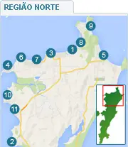
DISCOVER MORE North Region Neighborhoods from Florianopolis
- Bom Jesus waterfall
- cacupé
- Canasvieiras
- Daniela
- English from Rio Vermelho
- Jurerê International
- Traditional Jurerê
- Ponta das Canas
- Brava Beach
- sambaqui
- Saint Anthony of Lisbon
